


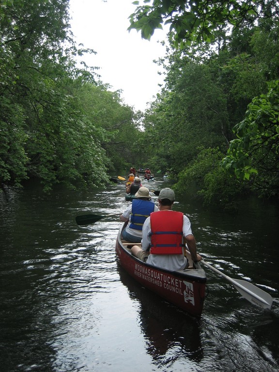
In the Bay, waterways are a dime a dozen. “Rhode Island has so much beautiful water,” says Rhode Island Blueways Alliance President Keith Gonsalves, “but we get comfortable with the familiar areas in our neighborhood.” Exploring new aquatic territory has never been easier, however, as the alliance has just created 20 detailed, full-color paddle trail maps in collaboration with watershed organizations, the Narragansett Bay Estuary Program and the Rhode Island Foundation. Each watershed group has described places to paddle along with helpful information on where to park and interesting history facts.
Some of the tours are challenging, while others are suited to all ages and fitness levels. Locally, the Kickemuit River Council has designed trips to include treks through Warren and Bristol. In East Providence, Ten Mile River Watershed Council showcases a three-mile paddle from Freedom Green up the river to Hunts Mills, among others. “We hope these maps will entice people to try some new trips,” Gonsalves says. Maps showcase paddle tours throughout the state and can be downloaded online.


Comments
No comments on this item Please log in to comment by clicking here